Geospy: Features, How to Use, and Its Featured Features
Geospy is an AI designed to easily find the geographic location of a photo.
The way this AI works is by analyzing the elements that exist in photo, such as vegetation, architecture, and other geographic markers.
Geospy was developed by Graylark Technologies and was originally intended only for governments and law enforcement, but is now available for use by investigative journalists and the general public.


IDR 50,00062%
IDR 18,900
If you are interested to know AI This one is more detailed, let's look at the following discussion!
Also read:
What is Geospy?
GeoSpy is an AI tool that can identify a location just from an image by looking at its content.
This AI will compare the uploaded image with a database of photos with a specific location, then Geospy will estimate the location with high accuracy, even up to a radius of 20 miles.
If utilized properly, this AI is not only useful for professionals such as journalists and security forces, but you can also use it if you want to know the location of a place from a photo you found on social media.
How Geospy AI Works
After knowing what GeoSpy is, you will definitely want to know how this sophisticated AI works.
For those of you who are curious about how this AI system works, here are some of the steps in how it works:
AI Training
The AI is trained using millions of images that already have location information. The AI will learn to recognize patterns such as building types, road colors, and plant shapes.
Visual Element Analysis
GeoSpy will identify elements in the image such as store names, type of vehicle, and even traffic signs.
Database Comparison
Once the visual information gathering is complete, the AI will compare the photo with an existing database to determine the most likely geographic location.
Elements Used by Geospy
Reported from the Indonesia Artificial Intelligence Hub, this AI utilizes several elements to determine the location of the image, namely:
Landmark
Landmarks are one of the most powerful indicators in geolocation analysis. Landmarks include famous buildings, monuments, and easily recognizable natural features.
This AI has a rich database of geotagged landmarks that help in the location identification process.
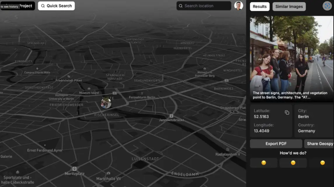
Street View
Elements such as street signs, architectural style, and storefront design also serve as additional clues. By analyzing all of these elements, the AI will provide a clearer context about the location.
Vegetation and Terrain
The type of vegetation, presence of mountains or bodies of water, and weather patterns seen in the image provide important clues about a particular geographic region. This information will help the AI narrow down possible locations.
Advantages of Geospy AI
GeoSpy AI offers many benefits that make it superior to other tools, namely:
Information Verification
Journalists and law enforcement officials can use it to verify the authenticity of an image's location.
Environmental Monitoring
Scientists can also use it to observe environmental changes over time, such as deforestation or urban growth.
Security and Investigation
The police can use this AI to track the whereabouts of criminals based on photos or videos found on social media.
Geospy Features

This AI has two versions, namely Plus and Pro. Here are the main features offered:
Advanced Geolocation Analysis
Using machine learning algorithms to recognize patterns and determine locations with a high degree of accuracy.
Multiple Format Support
Supports various image formats such as JPG, PNG, and BMP.
User-Friendly View
Displays analysis results in the form of an easy-to-understand interactive map.
Pro Version for Professionals
Offers additional features such as more detailed reports and integration with other software for investigative purposes.
Geospy Privacy and Security

Along with its ability to offer advanced technology, this AI also pays attention to user privacy and security.
Following are some of the steps taken by GeoSpy, including:
Metadata Removal
GeoSpy does not rely on manipulable image metadata.
Analysis Based on Visual Elements
This AI focuses more on features in the image such as architecture and vegetation to determine location.

Data Security
Data processed by GeoSpy is kept confidential and is not distributed without the user's permission.
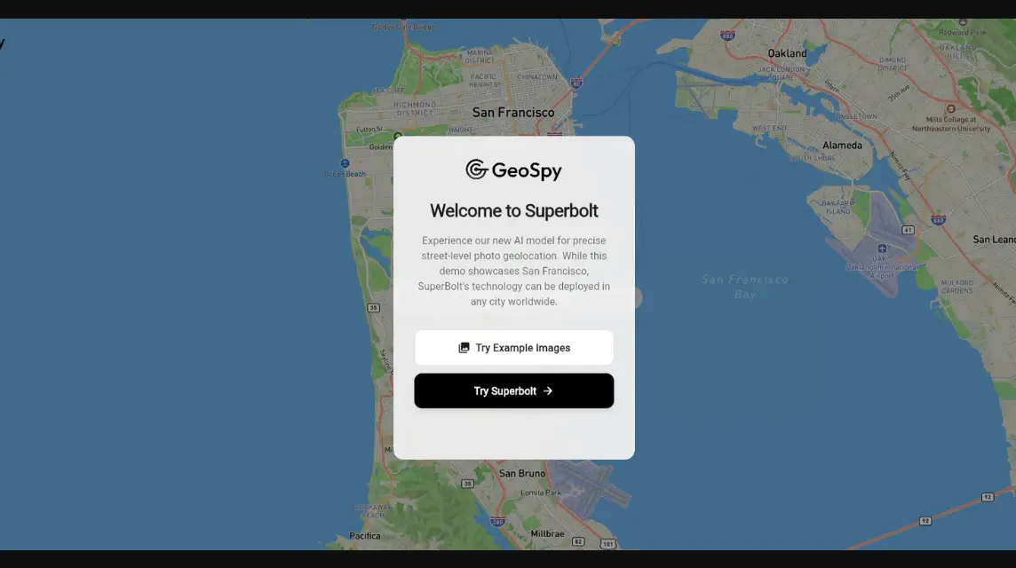
How to Use Geospy AI
If after learning so much about AI you want to use it, here's how to use it:
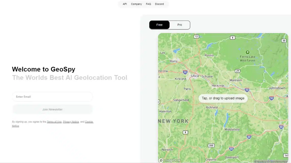
Upload Image
Select the photos you want to analyze and upload them to the GeoSpy platform.
Analysis by AI
The system will process the image and look for relevant visual clues.
Location Estimate
AI will provide an estimated location along with its confidence level.
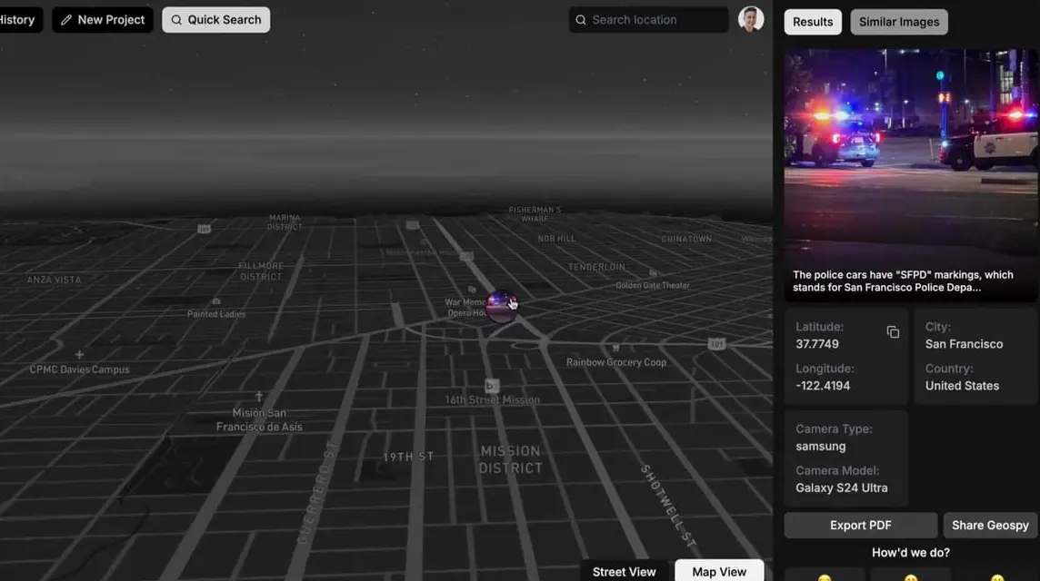
Display Results in Map
The predicted location will be displayed in map form for easy understanding.
Also read:
That's our discussion this time about Geospy. Don't forget to top up your favorite game quickly and cheaply only at VCGamers Marketplace!